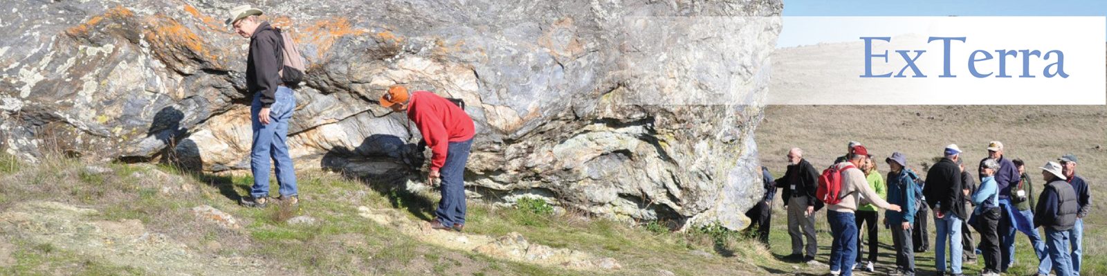
Search through the Google Scholar Bibliography to find a collection of publications issued from the E-FIRE Group. The bibliography is periodically updated by individuals from the E-FIRE group.
Media coverage
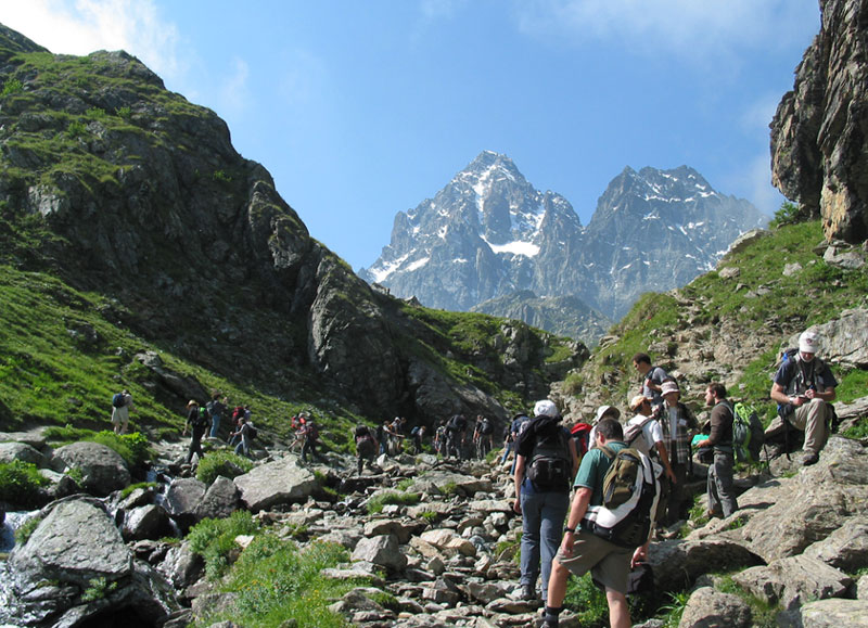
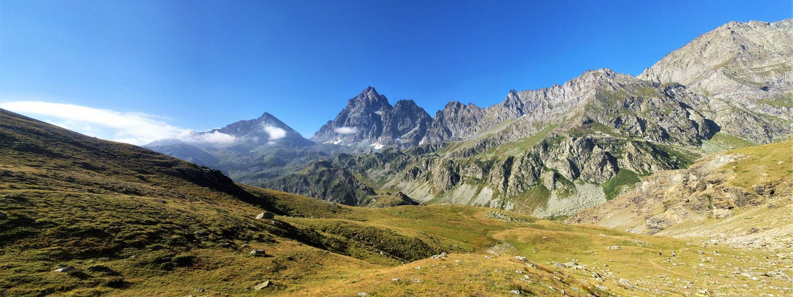
New research on ancient Alpine rocks may unveil clues to Earth’s evolution | October 25, 2016
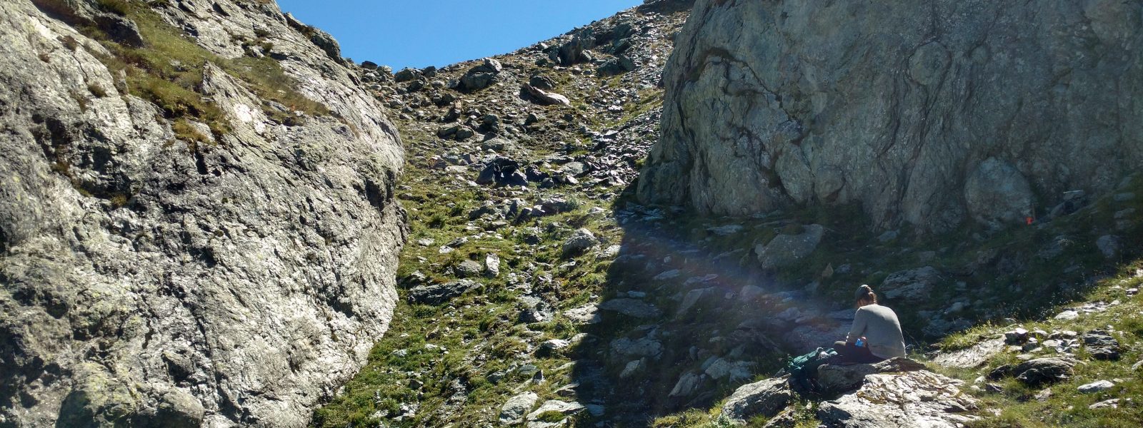
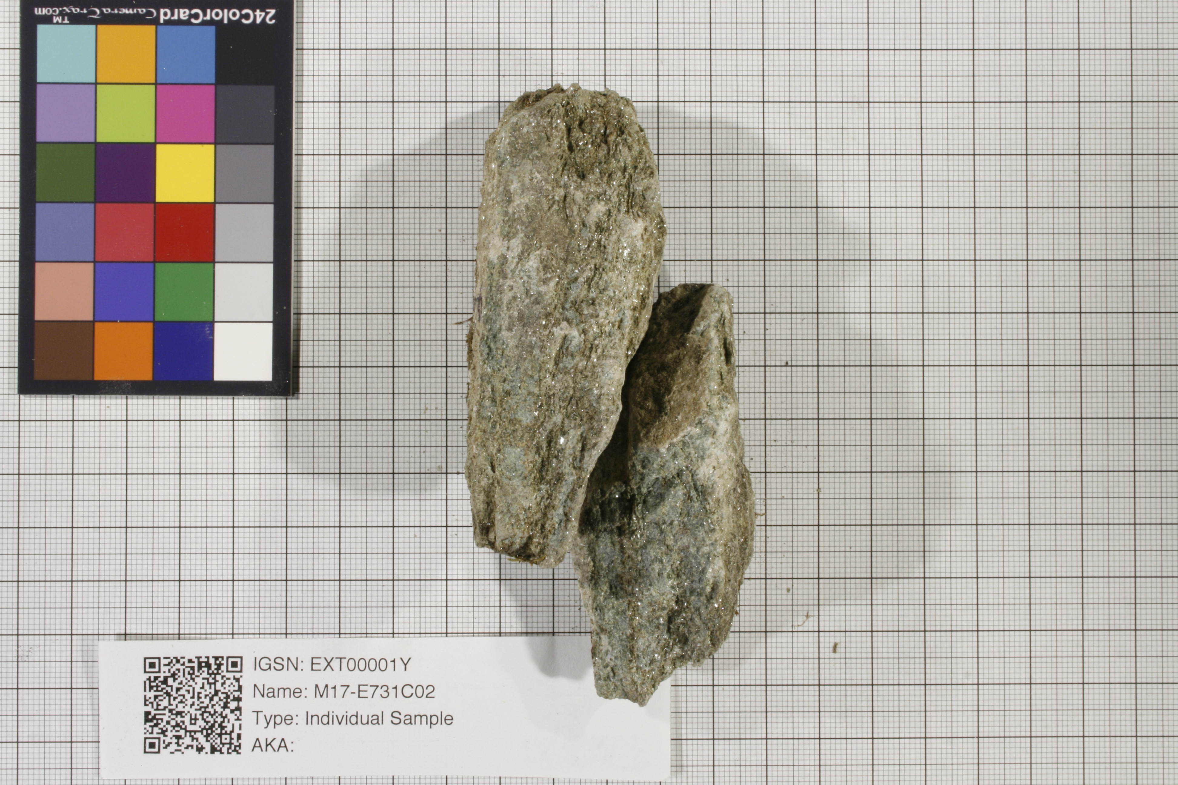
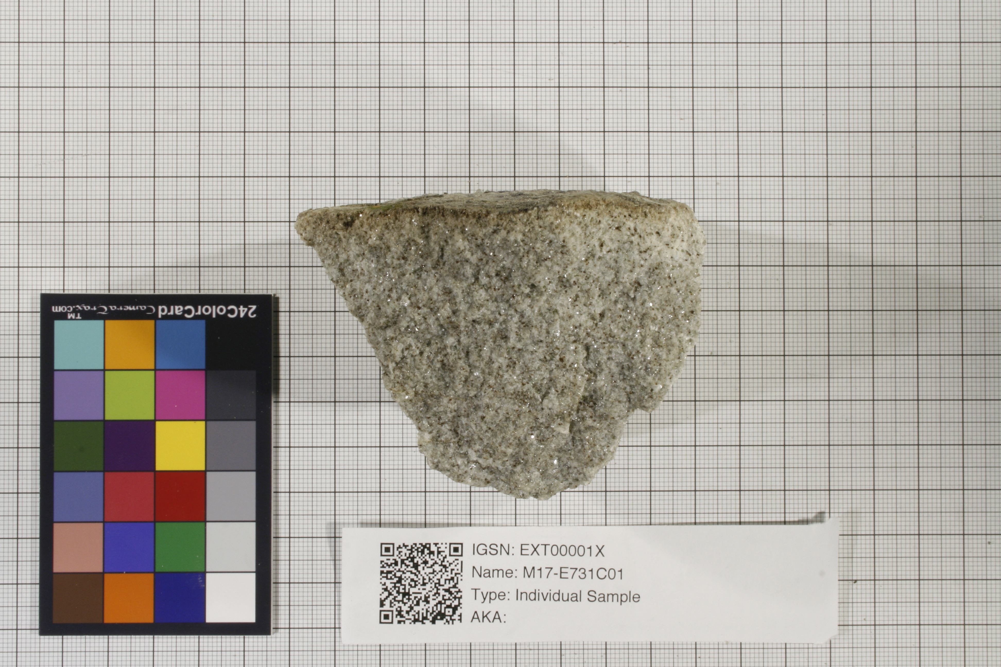
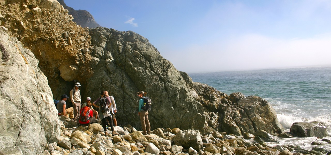
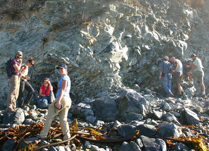
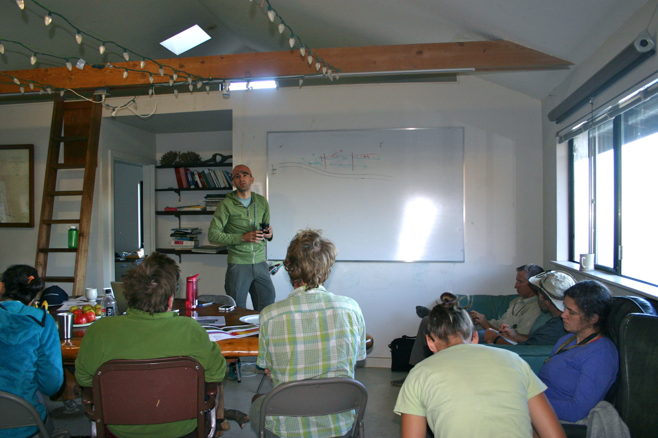
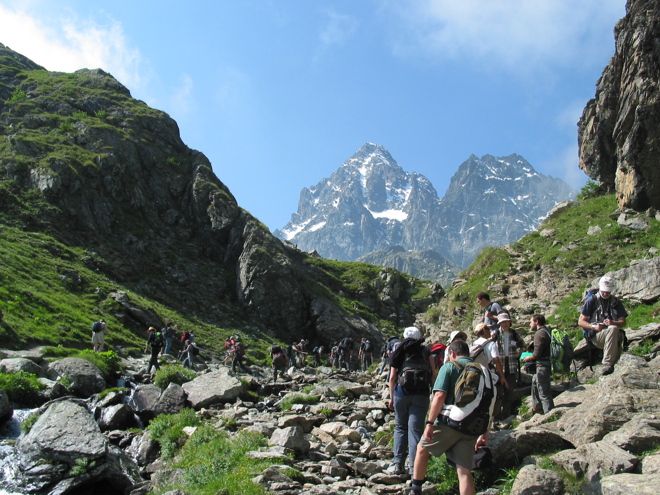
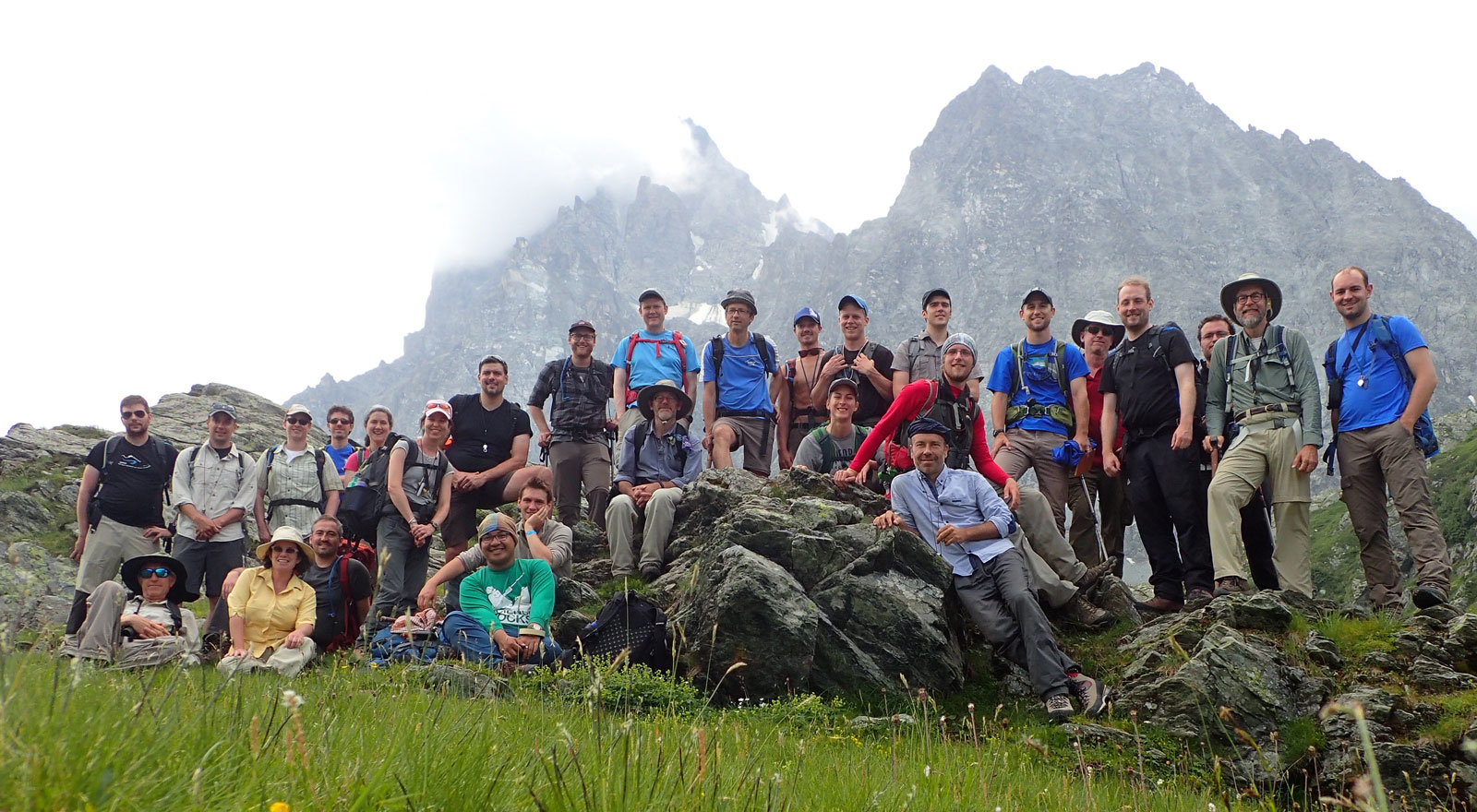
Report from the Field – ExTerra Field Institute and Research Endeavor: Western Alps, Summer 2017 | GeoPRISMS newsletter issue 39, Fall 2017

")
")
")
")
")
")
")
")
")
")
")
")
")
")
")
")
")
")


")
")
")