IODP tackles the Hikurangi Margin of New Zealand with two drilling expeditions to unlock the secrets of slow-slip events


MGL1801 Participants – Ryuta Aral (JAMSTEC), Stephen Ball (Univ. of Wisconsin, Madison), Nathan Bangs (UT Austin), Dan Barker (GNS Science), Joel Edwards (UC Santa Cruz), Melissa Gray (Imperial College London), Shuoshuo Han (UT Austin), Harold Leah (Cardiff Univ.), Tim Reston (Univ. of Birmingham), Hannah Tilley (Univ of Hawai’i), and Harold Tobin (Univ. of Wisconsin, Madison)

When the Pacific plate slips beneath the Australian plate along the northern Hikurangi margin, the subduction megathrust does not typically generate earthquakes as it often does in subduction zones. Instead, stress accumulated on the megathrust is released within patches every 2-4 years over a period of weeks in well documented slow slip events (SSEs) (i.e. Wallace and Bevean, 2010). While SSEs are not unique to the Hikurangi margin, SSEs often occur at depths of 30-40 km down dip of the seismogenic zone. This makes them difficult to access and thus difficult to examine the physical conditions that control whether the megathrust slips quickly in regular earthquakes or instead slips slowly. However, the Hikurangi margin has documented regular patterns of SSEs that extend updip along the megathrust to unusually shallow depths of ~2 km below the seafloor. This unusually shallow setting and the well documented distribution of slip makes these SSEs accessible with geophysical tools and even drilling.

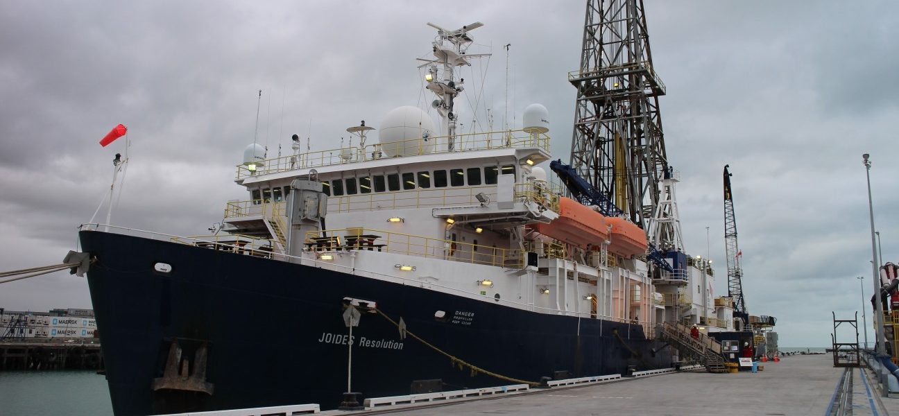
From January 6th to February 9th 2018, a team of marine geologists and geophysicists from the US, UK, Japan, and New Zealand sailed on the R/V Langseth to acquire a new 3D seismic reflection data volume across the northern Hikurangi margin offshore of the North Island of New Zealand (Fig. 1). Previous seismic surveys have imaged the subsurface structures and offered hints into the unusual megathrust slip behavior along the Hikurangi margin. Bell et al. (2010) showed large seamounts on the subducting plate that can generate thrust faults within the upper plate, and entrain fluid rich sediments and carry them below the megathrust deep into the subduction zone. It is these impacts on the shallow subduction zone that are thought to generate conditions for high fluid content along the megathrust and fluid migration pathways from the megathrust through the upper plate. It is this fluid supply and flow system that is thought to lead to high fluid pressures and control effective stresses along the megathrust, which are also considered critical controls for slip behavior (Saffer and Wallace, 2015). However, it was also evident from earlier 2D seismic images that this complex setting required 3D data to correctly image the shallow megathrust and upper plate structures. Such high resolution 3D data can map out fluid content and faults to fully characterize this system.

The NZ3D experiment was designed to acquire 3D seismic images to map reflectivity and structures, and it provided an opportunity for a novel wide-angle seismic reflection and refraction component to measure seismic velocities in unprecedented detail and in 3D using full waveform inversion (FWI). The detailed seismic velocity data will reveal rock physical properties and will complement observations of reflectivity and structural geometry seen in 3D seismic images.

In most years this large ambitious geophysical experiment would by itself be a major achievement for any given site; however, the NZ3D project was designed to contribute to larger efforts on the New Zealand primary site that included: The NSF-funded SHIRE active source experiment (Nov–Dec 2017) to examine the crustal scale structure of the Hikurangi margin using ocean bottom seismometers, onland seismic receiver stations, and 2D seismic reflection imaging (p.22); IODP drilling to recover core samples, measure physical properties, and install observatories – Expeditions 372 (Nov 2017–Jan 2018) and 375 (Mar–Apr 2018) (p.16); and other related studies.

During the Langseth cruise we surveyed an area 14 x 60 km from the trench to the shelf across the Expedition 375 drilling transect (Fig. 1). Langseth fired one of two 3,300 in3 airgun arrays every 25 m in flip-flop mode and recorded returns on four 6-km-long, 468-channel seismic streamers spaced at 150 m. We made 62 passes through the survey area, fired 145,924 shots and recorded over 5Tbytes of seismic reflection data. With calm seas during most of the 35 days at sea, few equipment issues, and very few interruptions from protected species, we acquired a high-quality seismic data volume that will enable us to examine reflectivity of the megathrust down to more than 10 km in the area of SSEs and map the geometry of faults and stratigraphic horizons. In order to acquire the data needed for FWI, in December 2017, prior to NZ3D acquisition, the R/V Tangaroa deployed a hundred ocean bottom seismometers (OBSs) provided by JAMSTEC in a randomized grid with nominal 2 x 2 km spacing (Fig. 1). Shots for FWI were also recorded on stations deployed around the Gisborne area specifically for NZ3D and stations that had been deployed initially for SHIRE and remained for NZ3D (Fig. 1). A total of almost 300 onland stations recorded Langseth shots during NZ3D. We were also able to take advantage of the close line spacing during the 3D survey to increase the resolution of multibeam bathymetry and backscatter images across the margin. These data provide some of the best detail of the northern Hikurangi margin seafloor to date.

From here, we will spend the next few years processing the 3D volume (with emphasis on water column multiple removal) and OBS data sets to produce high-quality, detailed 3D images in depth, seismic velocity data, and interpret these results in the context of new results from the coordinated projects. Structures in 3D are already emerging from preliminary results (Fig. 1) and are only going to get better. There are lots of exciting results to come for studies of slow slip along the Hikurangi megathrust. ■

References

Araki, E., D.M. Saffer, A. Kopf, L.M. Wallace, T. Kimura, Y. Machida, S. Ide, (2017), Recurring and triggered slow slip events near the trench at the Nankai Trough subduction megathrust. Science, 356, 1157-1160. doi: 10.1126/science.aan3120
Barker, D.H.N., R. Sutherland, S. Henrys, S. Bannister, (2009), Geometry of the Hikurangi subduction thrust and upper plate, North Island, New Zealand. Geochem Geophys Geosyst, 10(2), Q02007. doi.org/10.1029/2008GC002153
Bell, R., R. Sutherland, D.H.N. Barker, S. Henrys, S. Bannister, L.M. Wallace, J. Beavan, (2010), Seismic reflection character of the Hikurangi subduction interface, New Zealand, in the region of repeated Gisborne slow slip events. Geophys. J. Int., 180(1), 34–48. doi.org/10.1111/j.1365-246X.2009.04401.x
Chang, C., L.C. McNeill, J.C. Moore, W. Lin, M. Conin, Y. Yamada, (2010), In situ stress state in the Nankai accretionary wedge estimated from borehole wall failures. Geochem Geophys Geosyst, 11:Q0AD04. doi.org/10.1029/2010GC003261
Davy, B., K. Hoernle, R. Werner, (2008), Hikurangi Plateau: crustal structure, rifted formation, and Gondwana subduction history. Geochem Geophys Geosyst, 9(7):Q07004. doi.org/10.1029/2007GC001855
Hensen, C., K. Wallmann, M. Schmidt, C.R. Ranero, E. Suess, (2004), Fluid expulsion related to mud extrusion off Costa Rica—a window to the subducting slab. Geology, 32(3), 201–204. doi.org/10.1130/G20119.1
Huffman, K.A., D.M. Saffer, (2016), In situ stress magnitudes at the toe of the Nankai Trough Accretionary Prism, offshore Shikoku Island, Japan. J. Geophys. Res.: Solid Earth, 121(2), 1202–1217. doi.org/10.1002/2015JB012415
Jannasch, H.W., C.G. Wheat, J.N. Plant, M. Kastner, D.S. Stakes, (2004), Continuous chemical monitoring with osmotically pumped water samplers: OsmoSampler design and applications. Limnology and Oceanography: Methods, 2(2), 102–113.
Kopf, A., G. Mora, A. Deyhle, S. Frape, R. Hesse, (2003), Fluid geochemistry in the Japan Trench forearc (ODP Leg 186): a synthesis. In Suyehiro, K., Sacks, I.S., Acton, G.D., and Oda, M. (Eds.), Proceedings of the Ocean Drilling Program, Scientific Results, 186: College Station, TX (Ocean Drilling Program), 1–23. doi.org/10.2973/odp.proc.sr.186.117.2003
Pecher, I.A., P.M. Barnes, L.J. LeVay, and the Expedition 372 Scientists, (2018), IODP Expedition 372 Preliminary Report, Creeping Gas Hydrate Slides and Hikurangi LWD. College Station, TX (International Ocean Discovery Program). doi.org/10.14379/iodp.pr.372.2018
Pedley, K.L., P.M. Barnes, J.R. Pettinga, K.B. Lewis, (2010), Seafloor structural geomorphic evolution of the accretionary frontal wedge in response to seamount subduction, Poverty Indentation, New Zealand. Marine Geology, 270(1–4), 119–138. doi.org/10.1016/j.margeo.2009.11.006
Peng, Z., J. Gomberg, (2010), An integrated perspective of the continuum between earthquakes and slow-slip phenomena. Nat. Geosci., 3(9), 599–607. doi.org/10.1038/ngeo940
Ranero, C.R., I. Grevemeyer, U. Sahling, U. Barckhausen, C. Hensen, K. Wallmann, W. Weinrebe, P. Vannucchi, R. von Huene, K. McIntosh, (2008), Hydrogeological system of erosional convergent margins and its influence on tectonics and interplate seismogenesis. Geochem Geophys Geosyst, 9(3), Q03S04. doi.org/10.1029/2007GC001679
Saffer, D.M., L.M. Wallace, (2015), The frictional, hydrologic, metamorphic and thermal habitat of shallow slow earthquakes. Nat. Geosci., 8(8), 594–600. doi.org/10.1038/ngeo2490
Saffer, D.M., L.M. Wallace, K. Petronotis, (2017), Hikurangi subduction margin coring and observatories: unlocking the secrets of slow slip through drilling to sample and monitor the forearc and subducting plate. International Ocean Discovery Program Expedition 375 Scientific Prospectus: College Station, TX (International Ocean Discovery Program). doi.org/10.14379/iodp.sp.375.2017
Saffer, D.M., M.B. Underwood, A.W. McKiernan, (2008), Evaluation of factors controlling smectite transformation and fluid production in subduction zones: application to the Nankai Trough. Island Arc, 17(2), 208–230. doi.org/10.1111/j.1440-1738.2008.00614.x
Schwartz, S.Y., J.M. Rokosky, (2007), Slow slip events and seismic tremor at circum-Pacific subduction zones. Reviews of Geophysics, 45:RG3004. doi.org/10.1029/2006RG000208
Solomon, E.A., M. Kastner, C.G. Wheat, H. Jannasch, G. Robertson, E.E. Davis, J.D. Morris, (2009), Long-term hydrogeochemical records in the oceanic basement and forearc prism at the Costa Rica subducti. Earth Planet. Sci. Lett., 282, 240–251. doi.org/10.1016/j.epsl.2009.03.022
Wallace, L.M., J. Beavan, (2010), Diverse slow slip behavior at the Hikurangi subduction margin, New Zealand. J. Geophys. Res.: Solid Earth, 115(B12):B12402. doi.org/10.1029/2010JB007717
Wallace, L.M., J. Beavan, R. McCaffrey, D. Darby, (2004), Subduction zone coupling and tectonic block rotations in the North Island, New Zealand. J. Geophys. Res.: Solid Earth, 109(B12):B12406. doi.org/10.1029/2004JB003241
Wallace, L.M., S.C. Webb, Y. Ito, K. Mochizuki, R. Hino, S. Henrys, S.Y. Schwartz, A.F. Sheehan, (2016), Slow slip near the trench at the Hikurangi subduction zone, New Zealand. Science, 352(6286), 701–704. doi.org/10.1126/science.aaf2349
Wallace, L.M., Y. Kaneko, S. Hreinsdottir, I. Hamling, Z. Peng, N. Bartlow, E. D’Anastasio, and B. Fry, (2017), Large-scale dynamic triggering of shallow slow slip enhanced by overlying sedimentary wedge. Nat. Geosci., 10, 765–770. doi: 10.1038/ngeo3021
Wech, A.G., K.C. Creager, (2011), A continuum of stress, strength and slip in the Cascadia subduction zone. Nat. Geosci., 4(9), 624–628. doi.org/10.1038/ngeo1215

Reference information
IODP tackles the Hikurangi Margin of New Zealand with two drilling expeditions to unlock the secrets of slow-slip events
GeoPRISMS Newsletter, Issue No. 40, Spring 2018. Retrieved from http://geoprisms.nineplanetsllc.com