The GeoPRISMS Postdoctoral program was aimed at providing opportunities for early-career scientists to solidify research skills, build a track record, and establish peer relationships. The NSF GeoPRISMS Program provided support for postdoctoral researchers to conduct up to two years of multi-disciplinary research at institutions of higher education in the United States with the objective to encourage individuals, typically within five years after award of their Ph.D., to diversify their expertise relative to that used in their thesis research.
NSF enables career-life balance through a variety of mechanisms. Support to address dependent care issues may be available for awardees. For more information, please see the NSF’s Career-Life Balance Initiative.
GeoPRISMS Postdoctoral proposals were subject to the same submission and review criteria as other proposals for GeoPRISMS funding.
GeoPRISMS/MARGINS Posdoctoral Scholars bios
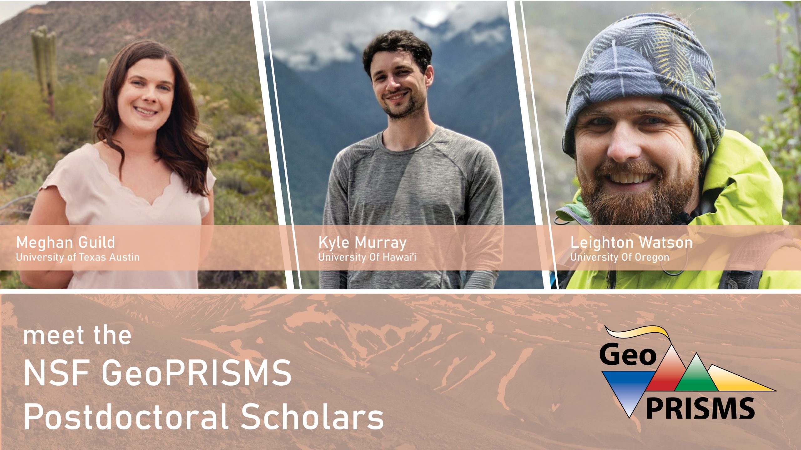
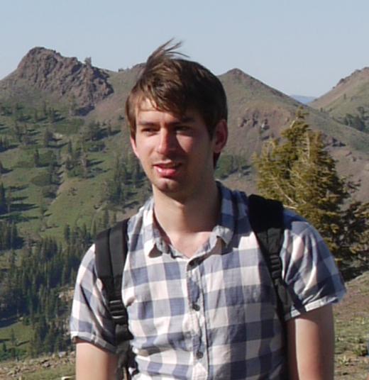
 Meghan Guild – UT Austin
Quantifying Carbon in the Mantle Lithosphere: Concentration, sources, and forms of carbon stored in carbonates and fluid inclusions
In 2011, I earned my Bachelor of Arts degree in geological sciences from the State University of New York at Geneseo. Advised by Dr. Dori Farthing, my undergraduate research examined the mineralogy and bulk chemistry of iron slag, a project bridging the fields of geology and archeology. Following my undergraduate degree, I pursued a Master of Science degree while working in the Arizona State University (ASU) National Secondary Ion Mass Spectrometry (SIMS) facility with Dr. Richard Hervig. For my research, I used SIMS in situ boron isotopic analyses to determine the metasomatic sources of hydrous minerals related to either ancient subduction, mantle metasomatism, or kimberlite related metasomatism. Upon completing my M.S. I began my doctoral research at ASU, under the advisement of Dr. Christy Till. My dissertation focused on the geochemical and physical exchange occurring between the Earth’s crust and mantle at convergent margins, and how this drives the compositional diversity observed on the Earth’s surface. My use of traditional petrologic and geochemical studies of natural and experimental high-pressure mafic rocks coupled with state-of-the-art thermodynamic modelling of high-pressure aqueous fluids and mafic-ultramafic lithologies allowed for more complete understanding of fluid-melt-rock interactions in the subduction setting.
The mantle lithosphere remains a poorly constrained reservoir of deep carbon and, as a GeoPRISMS postdoctoral scholar, I will work to constrain the abundance, sources, and forms of carbon stored in the mantle lithosphere of the Colorado Plateau, thus improving our understanding of this significant carbon reservoir. To achieve this goal I will (1) use carbon and oxygen isotopic analyses of carbonate from lithospheric mantle xenoliths to infer source provenance; (2) determine the entrapment temperature and composition of fluid inclusions to quantify the forms of aqueous carbon contributing to the mantle lithospheric carbon reservoir; and (3) perform theoretical thermodynamic modeling of fluid inclusion chemistry at lithospheric mantle conditions to investigate the complete aqueous carbon speciation at the determined entrapment temperatures. Collectively these investigations will provide constraints on the distribution and sources of carbon in the Proterozoic lithospheric mantle underlying the southwestern United States, adding to the few direct measurements of the carbon in the mantle lithosphere.
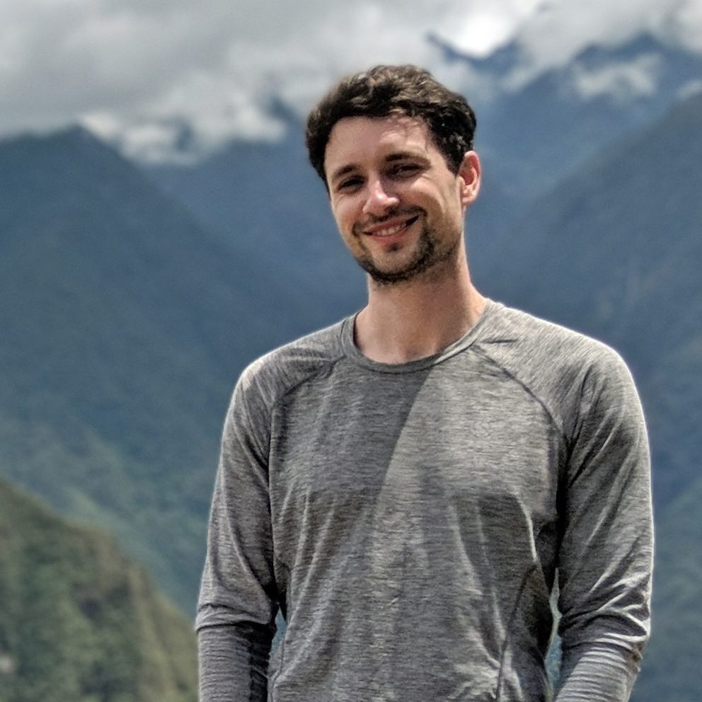
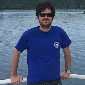
 Leighton Watson – University of Oregon

Constraining properties of pyroclastic density currents with remote infrasound and seismic observations
Pyroclastic density currents (PDCs) are hot mixtures of eruption-derived particles and gas that move laterally along the ground. PDCs are commonly generated by eruption column or lava dome collapse. Due to their mobility, rapidly velocities, and high temperatures, PDCs are the most hazardous volcanic phenomena and are responsible for over 50% of volcanic-related fatalities. It is extremely challenging to directly observe PDC activity and therefore much of our understanding about these flows comes from modeling and analogue laboratory studies. In recent years, however, there have been an increased number of geophysical (seismic and acoustic) observations of PDC activity.
The goal of my GeoPRISMS postdoctoral project with Josef Dufek at the University of Oregon is to simulate the acoustic and seismic signals from PDCs and compare with field observations. I will develop a quantitative modeling framework to relate PDC properties to geophysical observables. This work will enable field observations of seismic and acoustic signals to place constraints on PDC dynamics. This will improve our understanding of the fundamental physical governing these dangerous flows, which will aid in volcanic hazard assessment and monitoring.
My interest in earth sciences stems from growing up in New Zealand where there are a myriad of natural hazards. I moved to Stanford for my PhD where I worked on volcano infrasound – low frequency acoustic waves in the atmosphere that are frequently generated by volcanic activity. During my PhD I studied open-vent volcanoes and investigated how harmonic infrasound observations can place constraints on crater geometry and magma movements in the crater, which can aid in eruption forecasting. I performed computational aeroacoustic simulations of volcanic eruptions to examine when the analytical models commonly used in volcano infrasound are appropriate and when they break down. In addition, I investigated how acoustic waves are excited in several non-volcanic contexts including marine seismic sources (seismic air guns) and whale sound generation.
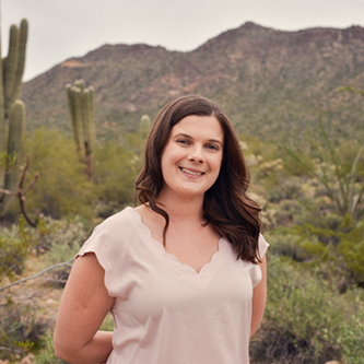
 Kyle Murray – University of Hawai’i
Contrasting active magma- and fault-dominated segments of the East African Rift through the synthesis of InSAR and GPS time series: Implications for rifting dynamics and hazards
The Global Positioning System (GPS) network covering the East African Rift System (EARS) is sparse, and network expansion has both political and financial challenges. Interferometric Synthetic Aperture Radar (InSAR) greatly complements GPS measurements with high spatial resolution imagery of ground deformation over the entire EARS. Integrating these datasets will allow us to better characterize deformation in this area associated with tectonic, volcanic, and anthropogenic processes.
During my Master’s degree in geophysics at New Mexico Tech, I studied the much slower deforming Rio Grande Rift using GPS measurements. I identified several areas of localized strain and updated our current understanding of active deformation in the area with implications for both rift dynamics and hazards. I moved onto Cornell University for my Ph.D. where I focused on improving methods for InSAR to expand the areas where it is possible to study deformation and resolve smaller signal-to-noise ratios.
As a GeoPRISMS postdoctoral fellow at the University of Hawai‘i, I will be combining the methods and expertise I have gained in InSAR during my doctoral work with my earlier knowledge of GPS and continental rifting to study the central section of the EARS. The objective of this project is to produce precise maps of temporally and spatially dense crustal deformation time series across the central EARS, documenting tectonic, volcanic, and anthropogenic related deformation signals. This will allow us to characterize and compare distributions of strain rates between the proposed plume-controlled eastern segment, and fault-controlled western segment, which branch around the Tanzania Craton — placing these observations in the context of the geologic history and pre-existing structures.
 Miles Bodmer – University of Oregon

Linking Mantle Structure and Dynamics to the Landscape Evolution of the Cascadia Forearc
Recent studies suggest that surface processes such as, orogenesis, deformation during the subduction cycle, and denudation of the landscape, are influenced by the long-term (millions of years), margin-scale conditions established within the oceanic asthenosphere. Understanding these possible connections requires a multidisciplinary strategy, drawing from seismology, geodynamics, and geomorphology. It also requires synthesis not only across disciplines but within, particularly in seismology where resolution and sensitivity are highly dependent on the data and methods applied. The recent Cascadia Initiative seismic array has generated numerous studies identifying heterogeneity in the oceanic asthenosphere’s physical properties and deformation history. There is no consensus, however, as to the lateral and vertical extent of anomalies, physical state of the anomalous subslab mantle, or the kinematics of mantle flow. Moreover, a prevailing model of landscape development in southern Cascadia is the Mendocino Crustal Conveyor; however, we recently proposed that subslab buoyancy could influence the development and support of forearc topography. Discerning the relative importance of these competing hypotheses requires a better understanding of the margin-wide physical state and kinematic history of the oceanic asthenosphere as well as the impact of differing uplift patterns on landscape evolution in southern Cascadia.
I completed my undergraduate degree at the University of New Mexico double majoring in Physics and Applied Mathematics with a minor in Geology. During that time, I worked as a research assistant on the MiniCLEAN project, a liquid argon dark matter detector being installed in the SNOLAB underground science laboratory. I completed my PhD at the University of Oregon in 2019 in the Earth Sciences department. My PhD thesis focused on seismic imaging of the Cascadia subduction zone using amphibious passive source seismic data. I investigated the heterogeneous nature of both mantle flow beneath the offshore Juan de Fuca plate using shear wave splitting and mantle structure beneath the subduction zone using teleseismic tomography. This led to a new hypothesis for what controls the spatial segmentation of megathrust behavior and forearc evolution in Cascadia, suggesting that buoyant mantle upwellings in the subslab region play an important role.
During my GeoPRISMS postdoctoral fellowship I will continue to investigate the links connecting the structure and dynamics of the mantle to processes along the megathrust and at the surface. This project will be multidisciplinary, combining seismology, geodynamics, geomorphology. I will work to improve my seismic models of Cascadia by jointly inverting P and S data (to better constrain Vp/Vs) and by including anisotropy (to constrain 3D mantle flow). This will allow for better characterization of the geometry and physical properties of subslab anomalies. These improved constraints will help to illuminate how subslab buoyancy might influence topographic development in southern Cascadia. I will use landscape evolution modeling to discriminate between the competing mechanisms driving uplift, constraining the spatiotemporal characteristics of uplift that are consistent with current topographic features in southern Cascadia. I will also collaborate with numerical modelers, working on seismo-thermal-mechanical models of subduction, to explore how the introduction of subslab buoyancy influences the dynamics of the megathrust and forearc.
 Menno Fraters – UC Davis
Linking Mantle Dynamics and Tectonics in Cascadia with Geophysical Data Through 3D Numerical Modeling
Over the course of my GeoPRISMS post-doctoral fellowship, I will create high resolution, 3D subduction models to investigate the geometry of the slab, the slab induced flow in the mantle and how these are coupled to the surface plate across the subduction interface and through basal tractions. The models will employ strain-rate weakening elasto-visco-plastic rheology, and high resolutions (1 km) to model strain localization and the effect of terrane boundaries and major fault zones. The model predictions of lattice preferred orientation (LPO), the surface velocity, strain-rate and stress fields, and regions of upwelling will be compared to observations to determine a self-consistent model of slab-induced mantle flow and crustal deformation. These will be the first simulations to address the coupling of deformation from the mantle through the surface in the Cascadia Subduction Zone.
 John DeSanto – University of Washington
Refining GPS-Acoustic Processing to Measure Cascadia Subduction
Continuous GPS time series have been used to provide constraints for models of the coupling between the subducting and overriding slabs of the Cascadia subduction zone. Physics-based models predict the plate boundary is locked to a depth of 20 km, below which is a transition zone to a zone of episodic tremor and slip starting at a depth of 25-30 km. However, it is difficult to resolve the plate coupling at shallow depths offshore due to a lack of offshore geodetic coverage to serve as a proper boundary condition. As part of my GeoPRISMS postdoctoral fellowship, I am assessing novel approaches for improving the processing of seafloor geodetic observations from GPS-Acoustic, with application to resolving locking near the trench.
My undergraduate education consisted of a dual major in geophysics and physics at the University of Texas at Austin. During this time, I worked as an undergraduate intern with Don Blankenship, interpreting ice penetrating radar data flown over east and west Antarctica. I attended graduate school at the Scripps Institution of Oceanography, UC San Diego, applying to work with David Sandwell with the intent of completing a project utilizing InSAR data. However, I pivoted to working with sidescan and bathymetry data after a side project with differential sidescan yielded more promising results than we initially anticipated. This project involved assessing the accuracy with which we may measure seafloor displacement using differential sidescan data. To collect this measurement, one must tightly constrain error sources from the ship navigation and sound velocity profile. I demonstrated this using data collected during a student-led calibration survey of the Ayu Trough east of the Philippines. If significant noise sources are properly constrained, it is possible to measure seafloor displacement with an uncertainty of 0.75 m in the across track and vertical directions. This is sufficient to measure displacement from offshore earthquakes with magnitude greater than Mw 7.0
I am now working with David Schmidt at the University of Washington on GPS-Acoustic data collected along the Cascadia Subduction Zone. GPS-Acoustic combines acoustic ranging between seafloor transponders and an autonomous Wave Glider on the sea surface with GPS to position points on the seafloor with cm accuracy. GPS-Acoustic provides crucial boundary conditions on models of fault locking along the subduction zone, but requires significant data collection periods to mitigate noise from variations in sound speed in the water column. We seek to improve the accuracy of GPS-Acoustic by better constraining the sound velocity profile. This would allow us to either resolve tectonic plate motion over shorter time scales, or survey more sites in a single field season.
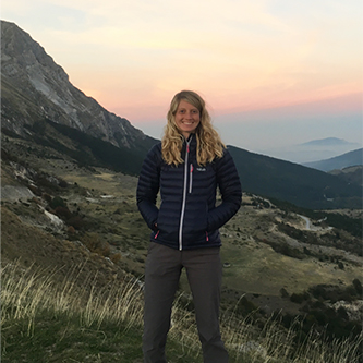 Fiona Couperthwaite – Oregon State University
Unravelling monogenetic volcanism in the Cascades Volcanic Range
Several recent studies have highlighted the chemical diversity of magmas between individual volcanoes within monogenetic volcanic fields, as well as between volcanic fields globally within different tectonic settings. They also suggest magma ascent as an important and defining feature of monogenetic volcanism. Volcanic fields that are associated with subduction zone processes (such as those in the Cascades) are underrepresented in geochemical studies and are thus underrepresented in the global dataset. The chemical composition and volatile content of a magma can be used to create a unique fingerprint of the timing and depth of magmatic processes as magma ascends from the upper mantle. In order to develop a greater understanding of the monogenetic volcanism within the Cascades, I will be using petrological and geochemical techniques to constrain magma storage and transport histories, their eruption timescales and ascent rates within selected monogenetic fields and small shields during my GeoPRISMS post-doctoral fellowship.
I obtained my undergraduate degree in Geology at the University of Bristol before completing my PhD at the University of Leeds. My PhD project was focused on trying to further understand the magmatic processes occurring during an ongoing volcanic eruption using petrological methods. Elemental diffusion modelling can be used to calculate timescale information for magmatic processes that are recorded in compositionally zoned minerals such as olivine. As data collection and processing using traditional methodology is often not complete until weeks after an eruption has ceased, we streamlined the current methods for Fe-Mg diffusion modelling in olivine, allowing us to collect and process data in near-real time (~26 hours). Following this, I completed a short post-doctoral fellowship calculating Mg-Fe timescales from disaggregated mantle olivine rims and evaluating mineral reaction textures from deposits within the Newer Volcanic Province, a monogenetic-style volcanic field across south and south east Australia.
Over the course of my GeoPRISMS post-doctoral fellowship, I will use multi-element diffusion modelling techniques applied to appropriate zoned minerals in deposits from select cinder cones and small basaltic shield volcanoes within monogenetic fields in the Central Oregon and Northern California Cascades, to estimate eruption timescales and to consider the nature of subsurface magma residence and transport beneath the monogenetic centers. I will also measure the volatile contents of appropriate melt inclusions within these zoned crystals where possible and together with the diffusion timescales calculate magma ascent rates. We will also consider how these magma ascent rates interplay with the volatile content to control the eruption style. The results of this study will contribute to our understanding of monogenetic volcanism within the Cascades and within subduction zone settings.
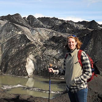 Tamara Jeppson – Texas A&M University
Experimental investigations on the deformation behavior of sediment in the shallow region of the Nankai, Sumatra, and Aleutian subduction zones
In general, the seismogenic zone is characterized by unstable slip while aseismic zones are characterized by stable slip. In the last decades, however, the discovered new modes of slip and observations of shallow coseismic slip to the trench have blurred the distinction between seismic and aseismic and suggest subduction zones are more complex than this simple model. Because the deformation behaviors of sediments have a strong influence on fault stability, magnitude of co-seismic slip, and a spectrum of slip behaviors in the shallow regions of subduction zones, characterizing and quantifying the full range of visco-elasto-plastic deformation behaviors of subduction zone sediments is essential to understand earthquake and fault mechanics in this environment.
I obtained my Bachelor of Science degrees in geology and physics from Utah State University. There I worked with Dr. James Evans on constraining the relationship between deformation and alteration observed in fault rocks and borehole geophysical measurements using data from the San Andreas Fault Observatory at Depth. I also worked with Dr. Anthony Lowry to determine if slow slip events occurred on the Wasatch Fault. As a result of these projects I became interested in understanding variations in the physical properties of fault zone rocks and their role in different fault slip behaviors. I continued to pursue this interest while working on my Master’s and Doctoral degrees with Dr. Harold Tobin at the University of Wisconsin – Madison. There my research focused on characterizing the seismic velocity structure of plate boundary faults at multiple scales. My work on drill core samples from the Japan Trench frontal prism lead to a collaboration with Dr. Eric Dunham’s group at Stanford University and early results from that collaboration suggest that the presence of a compliant accretionary prism can lead to a significant increase in shallow coseismic slip and seafloor displacement.The results of my graduate research illustrated a need to better characterize the physical properties and deformation behaviors of the sediments that are present within the shallow region of subduction zones. Now at Texas A&M I am working with Dr. Hiroko Kitajima to define elastic, plastic and viscous deformation behaviors of shallow subduction zone materials by performing high-pressure and high-temperature consolidation and creep experiments on samples of incoming sediment obtained during ocean drilling projects at the Nankai, Aleutian, and Sumatra subduction zones. This work will address fundamental questions about and advance knowledge of strain accumulation, fault coupling, and slip behaviors in shallow subduction zones by providing new insights on sediment deformation at in-situ conditions over time and the mechanisms of earthquakes and co-seismic slip that occur in the shallow portion of plate boundary faults.
Tamara Jeppson is now Postdoctoral Researcher at the USGS
 Shuoshuo Han – University of Texas at Austin
Investigation of the hydrogeologic role of faults in the downgoing plate through comparison of Central America, Cascadia, Nankai, and Alaska subduction zones
Fluid plays a key role in the subduction zone processes, and most of the fluid is from the downgoing oceanic plate. Faults in the oceanic plate are instrumental in facilitating
deep plate hydration near the trench and in providing pathways for fluid migration during subduction. However, the internal structure and hydraulic conductivity of these
faults and their variation over time and space have not been examined and quantified.
At Lamont-Doherty Earth Observatory, Columbia University, working with Suzanne Carbotte, I started my PhD research at the fast spreading mid-ocean ridge East Pacific Rise. Using 3D multi channel seismic reflection data, I imaged a group of melt lenses beneath the ridge flanks and assessed the contribution of off-axis magmatism to crustal accretion. From this project, I became familiar with the structure and formation process of the oceanic crust. Then I participated in the Juan de Fuca Ridge- to-Trench project, during which I imaged the detailed structure of the Juan de Fuca plate from its formation at the Juan de Fuca ridge to prior to subduction at the Cascadia subduction zone. In particular, I characterized the faulting deformation in this young oceanic plate and found deep-cutting faults formed offshore Oregon in response to subduction bending, but are absent offshore Washington. This more extensive bend-faulting deformation offshore Oregon correlates with the higher degree of plate hydration determined from coincident seismic refraction data, and has important implications for seismicity at the Cascadia subduction zone. Through this project, I got interested in understanding how fluid is transported into the deeper part of the oceanic plate through faults, and this motivated my GeoPRISMS postdoc study.
Now at the Institute for Geophysics at the University of Texas at Austin, I am working with Nathan Bangs to investigate the hydrogeological role of faults in the downgoing oceanic plate. The reflections from the fault planes in the oceanic crust and uppermost mantle, although only observed in a few locations so far, provide windows for us to probe the internal structure of these faults. Through waveform modeling and inversion of the fault plane reflections, I constrain the impedance, and from these I estimate the porosity and water content within the fault zones. I also use depth imaging to characterize the distribution and larger-scale geometry of these faults. By comparing downgoing plates of different subduction zones, I hope to understand the dependence of fault structure on parameters such as plate age, bending curvature, and fault offset, and explore the limit of plate hydration through these faults. In addition, using accurate seismic velocity determined from depth imaging, I examine the consolidation state of sediments above the oceanic plate, another major fluid source, so that I can have a fuller view of the fluid input into subduction zones.
Shuoshuo Han is now Research Associate at the Institute for Geophysics, Jackson School of Geosciences
 Megan Newcombe – Columbia University
Magma ascent and eruption in the Aleutian Arc
The links between precursory signals of volcanic eruptions (as inferred from seismic and geodetic data) and eruptive style are poorly understood. Factors that are thought to play a role in controlling the vigor of a volcanic eruption include the volatile content of the magma, the depth of vapor-melt segregation, the ascent and mass transfer rate of the magma in the volcanic conduit, and the thermal history of the magma. These parameters are difficult to measure directly; however, they can be inferred a posteriori from analyses of erupted materials, and this is the main goal of my GeoPRISMS postdoctoral project at the Lamont-Doherty Earth Observatory.
My interest in basaltic volcanism began during my undergraduate degree at the University of Cambridge, during which I had the opportunity to sample pillow-rim glasses in central Iceland. I analyzed olivine-hosted melt inclusions from the Icelandic glasses and I studied the extent to which their compositions could be influenced by post-entrapment diffusion. I then moved to Caltech for my PhD, where I transitioned to the study of basaltic volcanism on the Moon. I conducted experiments to determine the solubility and diffusivity of water in lunar basalt. Also during my PhD, I characterized chemical zonation in olivine-hosted melt inclusions and I developed a technique that uses this zonation to constrain the syneruptive thermal histories of the inclusions. One aspect of my GeoPRISMS postdoctoral work is the application of this method to explosive basaltic eruptions to determine whether their magmas increase or decrease in temperature during ascent through the conduit.
Over the course of my GeoPRISMS postdoctoral fellowship, I have measured gradients of water and other chemical species in erupted crystals and glasses from Aleutian arc
volcanoes. These chemical gradients are signatures of magma ascent, degassing, and cooling. I am developing techniques for interpreting such chemical gradients that can be used to provide constraints on the ascent rates and thermal histories of magmas in the minutes to hours prior to their eruption. The ultimate goal of this approach is to provide a physical framework in which to place real-time volcano monitoring data.
Megan Newcombe is now Assistant Professor at University of Maryland
 Taryn Lopez – University of Alaska Fairbanks
Geochemical constraints on the source, flux, migration, and seismic signature of volcanic fluids, Katmai Volcanic Cluster, Alaska
Changes in the chemical composition and flux of volcanic gases released at the surface of volcanoes can provide insight into subsurface volcanic conditions, such as the approximate magma degassing depth, the presence (or absence) of a shallow water system, and/or relative conduit permeability. Additionally, the chemical and isotopic composition of volcanic gases can be used to determine the source of these volatiles at depth. This knowledge is critical for understanding subduction processes, forecasting volcanic eruptions, and estimating the explosivity of impending eruptions.
I obtained my Bachelor of Science degree in Geology at the University of Wisconsin Eau Claire. I then went on to pursue a Masters degree in Volcanology at Michigan Tech University. My advisor at Michigan Tech, Matt Watson, was a spectroscopist whose main area of study was remote sensing of volcanic emissions. He taught me that volcanic gas geochemistry could be used to understand subsurface volcanic processes and this idea has since been the main motivation of my research. My master’s research correlated the sulfur speciation and temperature of volcanic emissions from Cerro Negro Volcano, Nicaragua, where we used a combination of direct sampling and remote sensing techniques. Following completion of my M.S. degree, I went on to pursue my Ph.D. at the University of Alaska Fairbanks, due to its direct involvement with the Alaska Volcano Observatory (AVO) and opportunity for students to participate in daily volcano monitoring and eruption response. My Ph.D. research focused on using repeated volcanic gas measurements throughout varying stages of volcanic unrest to understand both surface activity and subsurface processes at three active volcanoes within the North Pacific: Redoubt (Alaska), Bezymianny (Kamchatka, Russia) and Karymsky (Kamchatka, Russia).
Through regular discussions with my AVO colleagues while pursuing my Ph.D., I gained a strong appreciation for the added value of integrating volcanic gas data with complementary petrologic, geochemical and geophysical datasets to obtain a more complete understanding of volcanic processes. During this time period I was surprised to learn that volcano seismicity is often interpreted to be caused by subsurface fluid movement; however, the actual type of fluid (i.e. magma, gas/volatiles, or hydrothermal waters) is often not well constrained, and these interpretations are often not supported by complementary volcanic gas measurements. This curiosity inspired my current GeoPRISMS postdoctoral project. The aims of this project are to use geochemical measurements of volcanic fluids and complementary seismic data from three historically-active Alaskan volcanoes within the Katmai Volcanic Cluster to: (1) determine the source (i.e. subducted slab, mantle, crust) and flux of volcanic gases, (2) identify proportions of magmatic and hydrothermal fluids within the subsurface, and (3) distinguish trends in gas composition and/or flux that correlate with seismic signatures of fluid movement.
Taryn Lopez is now Research Assistant Professor at the University of Alaska Fairbanks Geophysical Institute
 Abhijit Gosh – University of California Santa Cruz

Systematic search and characterization of very low frequency earthquakes and offshore tremor in Cascadia using the Amphibious Array
Subduction zones worldwide pose great seismic hazard, as they repeatedly produce large damaging earthquakes and associated tsunamis. Large earthquakes nucleate at the locked zone of the fault, spanning approximately 10 to 40 km in depth. Such fast earthquakes are believed to be the main observable mode of stress release for major plate boundary faults. But recent discovery of slow earthquakes in the transition zones forces earth scientists to rethink this paradigm. Such slow earthquakes are believed to load the up-dip locked zone, taking it closer to the next large megathrust earthquake. I study earthquakes, both fast and slow, using seismology as the main tool to understand the dynamics of earthquakes and faulting.
I did my undergraduate in structural geology. I earned my first Masters Degree in Geology from the University of Calcutta, India. While doing that, I got interested in earthquakes and faults. I got my second Masters Degree in the Earth and Atmospheric Sciences from Georgia Tech, where I studied earthquake statistics to infer variations in plate coupling in the Middle America Trench. In my PhD at the University of Washington, I focused on slow earthquakes and tremor in the Cascadia Subduction Zone, and San Andreas Fault. I developed new array techniques to image slow earthquakes with unprecedented resolution. I used this technique to image slow earthquakes captured by multiple seismic arrays that we designed and installed in Cascadia. I helped to resolve a long-standing scientific debate in Cascadia by showing that the majority of the tremor, the seismic signature of slow quakes, is occurring at the plate interface and likely a result of shear slip on the subduction fault. Furthermore, I showed that the behavior of tremor is complex and varies with distinct, identifiable patterns over timescales of minutes to months. My works suggest that the interaction between the stress field and rheological and/or geometrical asperities on the fault plane may control the evolution of slow quakes.
In the GeoPRISMS Postdoctoral proposal, I plan to integrate land-based and offshore seismic data collected under the Cascadia Initiative to scan the seismicity from the trench offshore to the base of the down-dip transition zone, up to ≈100 km inland from the coast. In the process, I will systematically search for exotic elusive events like, very low frequency earthquakes and offshore tremor. The goal is to take a holistic approach to better understand the full spectrum of fault slip behavior, and how it governs the subduction zone dynamics.
Abhijit Gosh is now Associate Professor at the University of California Riverside
 Hiroko Kitajima – Pennsylvania State University
Evolution of Sediment Physical Properties in the Nankai Subduction Zone and Implications for the Updip Limit of Seismogenesis
Both the updip and downdip limits of seismicity are thought to be controlled by temperature. For the updip limit, it has been hypothesized that change in slip behavior from aseismic creep to seismic slip is affected by smectite-illite transition associated with an increase in temperature. However, the updip limit of seismicity may be controlled by an interaction between multiple mechanical and chemical processes including deformation, sedimentation, metamorphism, fluid flow, dissolution, cementation, and solute transport. Along with temperature, stress states and strain rates are important factors that control deformation and slip behaviors.
As a part of my Ph.D. research at Texas A&M University, working with Frederick Chester and Judith Chester, I investigated mechanical and hydraulic properties of marine sediments along different loading paths to simulate the range of stress conditions in accretionary subduction systems. I deformed sediment core samples recovered from relatively shallow portions of the Nankai Trough accretionary prism during the Integrated Ocean Drilling Program (IODP) Nankai Trough Seismogenic Zone Experiment (NanTroSEIZE). The deformation test results revealed that most prism sediment samples are overconsolidated and that consolidation state of sediments is an important factor in determining deformation modes (brittle or ductile deformation) and permeability evolution. I have also conducted high-speed rotary-shear friction experiments on fault materials to understand frictional behaviors of natural faults at coseismic slip rates. At such slip rates, dynamic weakening occurs in association with frictional heating, and I realized the significance of temperature on frictional behaviors.
Now at the Pennsylvania State University, I am working with Demian Saffer and Chris Marone, where I will measure acoustic wave velocities on sediment core samples at different stress states. By incorporating measured data with seismic data, I will estimate the in-situ stress states and pore pressure in subduction systems. The estimation of in-situ stress states can be verified by coring and logging from deeper portions of the accretionary prism in future stages of the NanTroSEIZE. I will also conduct friction experiments on smectite and illite at elevated temperature to document their behaviors and to test the hypothesis for the updip limit of seismicity. I am grateful for the GeoPRISMS/MARGINS postdoctoral fellowship program.
Hiroko Kitajima is now Assistant Professor at Texas A&M University
 John Naliboff – UC Davis

3-D numerical models of the dynamics of outer rise faults
The dynamic processes of the lithosphere and convecting mantle are largely governed by buoyancy driven stresses and the solid Earth’s rheological structure. These solid Earth processes operate over a diverse spectrum of spatial and temporal scales, and include frictional sliding along faults, propagation of seismic energy through elastic media and viscous creep in ductile portions of the Earth. In order to correctly link brittle and ductile processes to observations of surface deformation, plate motion and mantle flow it is critical to have independent estimates of the solid Earth’s rheological structure and the buoyancy forces available to drive deformation.
During my PhD at the University of Michigan, I focused on the origins of the lithospheric stress field using numerical simulations of lithospheric deformation and mantle flow. The results of my PhD work suggest that rheology may play a large role in the transmission and distribution of stress through the lithosphere. As a MARGINS postdoctoral fellow I plan to continue examining the role of rheology on lithospheric dynamics with Dr. Magali Billen at UC Davis.
The primary focus of my work will center on the dynamics of normal faulting along the bending-induced topographic bulge seaward of trenches in subduction zones (“outer rise”). Normal faulting in the outer rise regions of subduction zones reflects the extensional stress state generated by bending of the downgoing oceanic lithosphere that may produce new faults in the oceanic lithosphere or reactivate pre-existing faults generated at mid-ocean ridges. A number of recent high-resolution seismic studies have revealed the depth, spacing, dip and offset of these faults at multiple subduction zones, in addition to clear examples of when new faults are formed or pre-existing faults are reactivated. Using high-resolution 2-D and 3-D numerical models, I hope to test how viscous flow laws, brittle yielding parameters, strain-induced weakening and fluid-related weakening affect the formation and evolution of outer rise fault patterns. In addition to providing additional constraints on the rheology of the oceanic lithosphere, these numerical simulations will provide further insight into the large-scale dynamics of subduction zones and the transmission of stress over different wavelengths and timescales in subduction systems.
John Naliboff is now Assistant Research Scientist at UC Davis