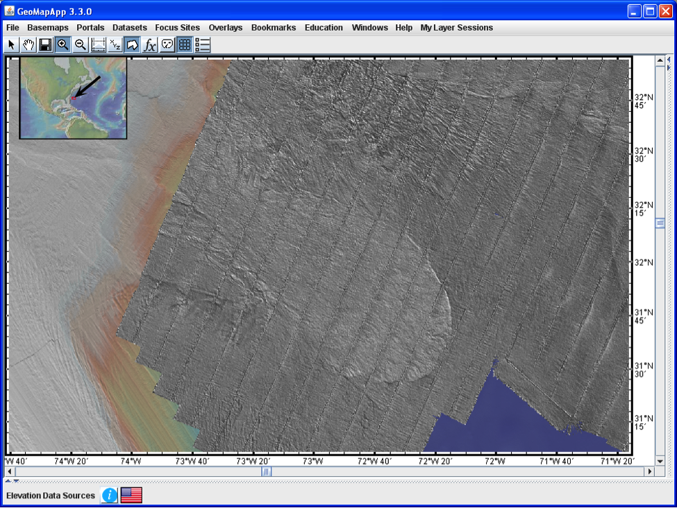
Figure 3. Backscatter data from July 2012 cruise RB1202 clearly distinguishes the lobate tongue of the Cape Fear slide carbonate debris (center of map) from the choppy acoustic signal returned from the siliciclastic sediment of the Hatteras system depositional lobe lying directly to the north (top center of map).The backscatter data is overlain on gridded high-resolution Law of the Sea bathymetry data collected over recent years and seen in the western portion of the map.