August 24-25, Florence, Italy
1Pennsylvania State University; 2University of Maryland
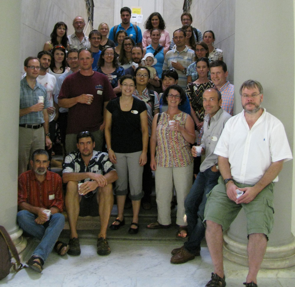
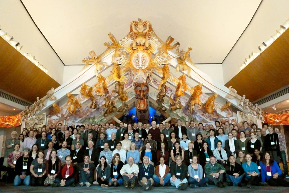
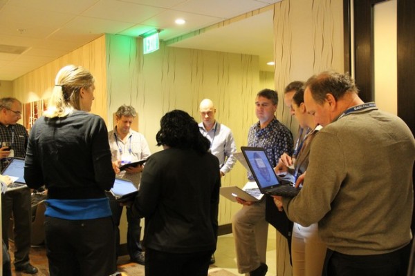
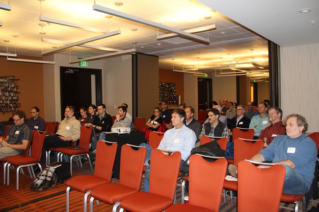
Figure 1. ExTerra 2013 workshop participants.
On August 24-25, 2013, geoscientists met in Florence, Italy for the ExTerra 2013 workshop prior to the Goldschmidt conference. In all, there were 33 participants from 9 countries, including 11 students, 2 post-docs, and 5 early-career faculty. Workshop participants divided into three groups based on different types of exhumed terranes: subducted slab, mantle wedge, and arc crust. The groups were tasked with refining the key scientific questions previously identified in the ExTerra White Paper (2012) and discussing future directions for ExTerra.
What is ExTerra?
ExTerra is a group of individuals interested in studying exhumed rocks of ancient subduction zones in order to understand the processes that operate deep within subduction zones. Our ongoing mission is to explore how we can best organize research on exhumed terranes such that we might accomplish more as a group than we can as individuals working independently. Three target areas have been identified as significant to improving our understanding active subduction processes by the study of exhumed terranes:
- Subducted slab, including HP and UHP rocks such as blueschists, eclogites, and metapelites;
- Mantle wedge, including serpentinites, ophiolites, and peridotites; and
- Middle and lower arc crust, including granitoids, gabbros, migmatites, gneisses, amphibolites, granulites.
Workshop summary
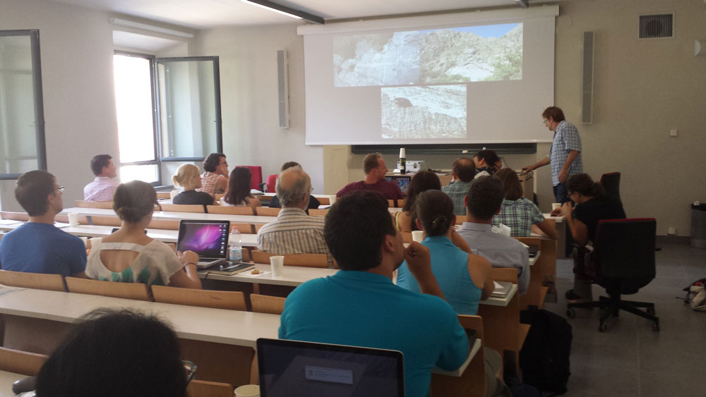
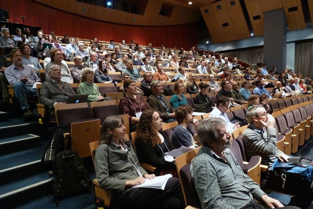
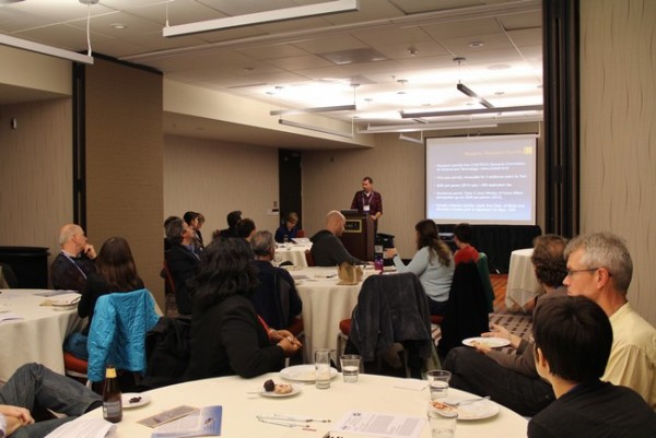
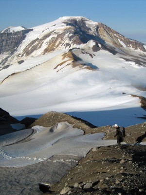
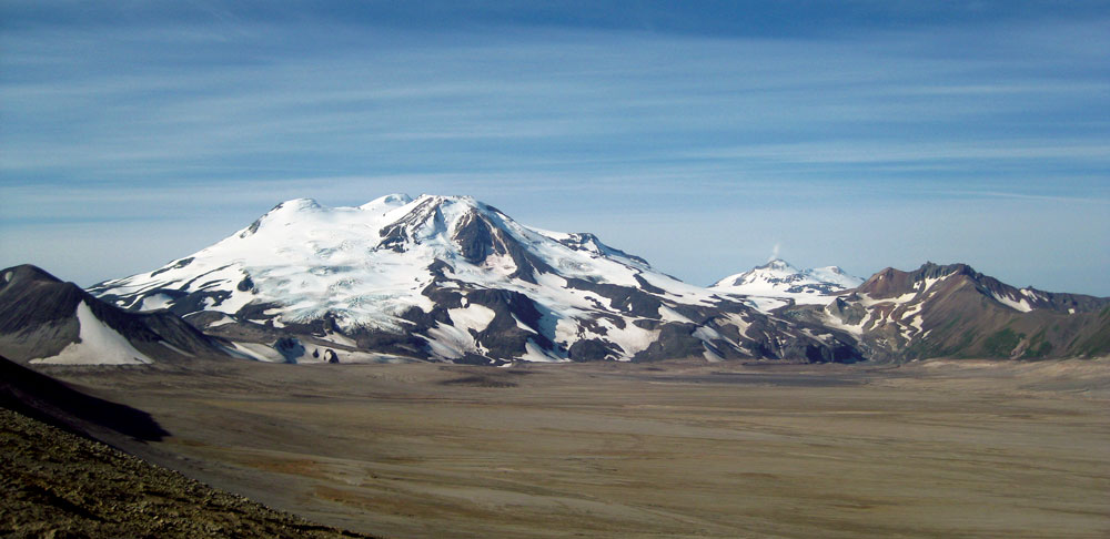
Figure 2. ExTerra 2013 workshop participants learn about US examples of exhumed arc crust sections from Mihai Ducea.
Day 1: Science Questions
The first day consisted of a full day of scientific presentations with ten keynote talks followed by an evening poster session. The talks were chosen to emphasize cutting-edge research on the processes and materials found deep within subduction zones and ultimately exhumed at the Earth’s surface, and to stimulate discussion of the Big Science Questions that can be addressed using rocks from exhumed terranes. The keynote speakers and topics are listed in the table below.
Day 2: Planning for the Future
The second day was focused on the future of ExTerra and included presentations on potential field institute localities and a discussion of sample and data management led by Kerstin Lehnert, Director of Integrated Earth Data Applications (IEDA). The workshop participants then separated into breakout groups by target area to refine the key scientific questions identified in the first ExTerra white paper (2012), and to discuss future directions for ExTerra, including potential field institute localities.
| Speaker | Institution | Talk Title |
| Subducted Slab | ||
| Ethan Baxter | Boston University | The growth of garnet and the chronology of slab dehydration |
| Philippe Agard | UPMC (Paris VI) | Into the subduction plate interface? |
| Horst Marschall | WHOI | The importance of hybrid rocks for transient trace-element and volatile storage at the slab-mantle interface |
| Mantle Wedge | ||
| Peter Kelemen | LDEO – Columbia | Field observations and thoughts about carbon transfer from metasediments into the mantle wedge in oceanic subduction zones |
| Jaime Barnes | UT, Austin | Geochemical signature of a serpentinized mantle wedge |
| Katherine Kelley | URI – GSO | Mantle wedge oxygen fugacity |
| Sarah Brownlee | Wayne State University | Seismic signatures of a hydrated mantle wedge from antigorite crystal preferred orientation (CPO) |
| Arc Crust | ||
| Mihai Ducea | Univ. of Arizona | A review of some of the most important exhumed crustal sections and xenolith localities from the Americas |
| Josef Dufek | Georgia Tech | Magmatic connections: The interplay of magmatic systems with their crustal containers |
| Olivier Jagoutz | MIT | The formation of continental crust: the seismological perspective |
Big Science Questions
Workshop participants continued to explore and refine the Big Science Questions regarding subduction zones that can be addressed through the study of exhumed high- and ultrahigh-pressure rocks and terranes. A few of the many emergent and re-emergent themes include:
- What are the timescales of fluid release and transport in the slab and mantle?
- What is the physical nature of the slab-mantle boundary?
- What is the relative importance of mechanical vs. chemical mixing across the slab interface?
- How are volatiles (including CO2, H2O, and O2) stored and transported in the mantle?
- What is the extent of mass exchange between arc magmas and arc crust?
- Is the erupted component at volcanic arcs representative of the stored plutonic component in the middle-to-lower arc crust?
- How different is the bulk composition of continental vs. oceanic arc crust?
- How can we best relate observables from exhumed rocks to seismic observations and geodynamic models?
ExTerra Field Institutes
One proposed extension of ExTerra in the coming years is a series of field institutes that would gather groups of researchers (~20 participants) at a few world-class exhumed subduction localities with the purpose of exploring some of the key scientific questions identified in the ExTerra white papers. The field institutes would focus on targeted sample collection, supported by careful sample registration and data management. Institutes might also include field techniques such as LiDAR, handheld XRF, and in situ measurement of physical properties. After an initial time period (~18 months) during which samples would be preferentially accessible to field institute participants for analysis, all samples would be made publicly available for research purposes following a model similar to that employed by the Ocean Drilling Program. Proposed sites for future field institutes include Santa Catalina Island, CA; Santa Lucia Mountains, CA; Fiordlands, New Zealand; Sierra Valle Fertil, Argentina; and Monviso, Italian Alps.