AGU Fall Meeting 2012, San Francisco, USA
1University of Texas, Dallas; 2University of Florida; 3University of Wisconsin; 4Lamont-Doherty Earth Observatory; 5U.S. Geological Survey; 6University of South Carolina
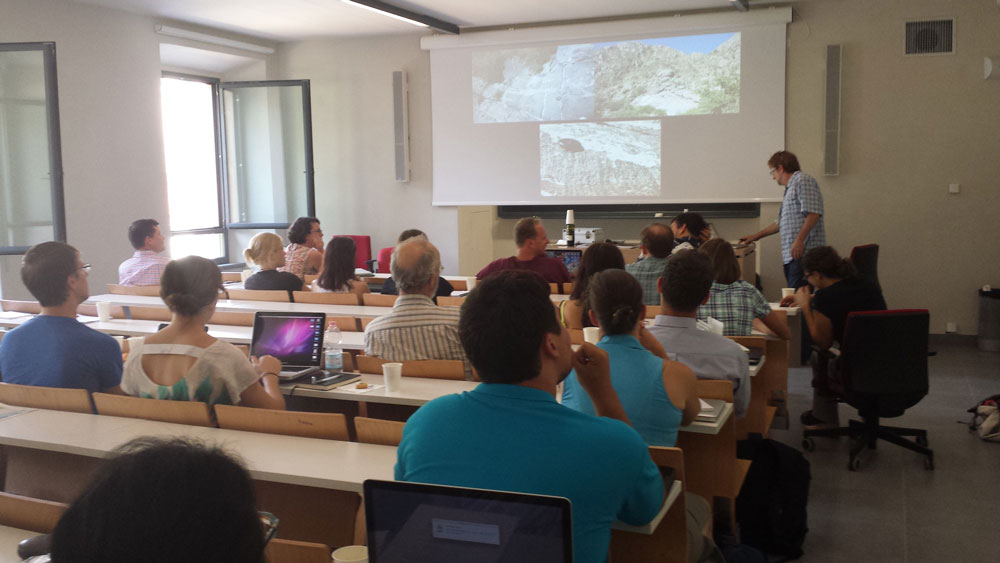
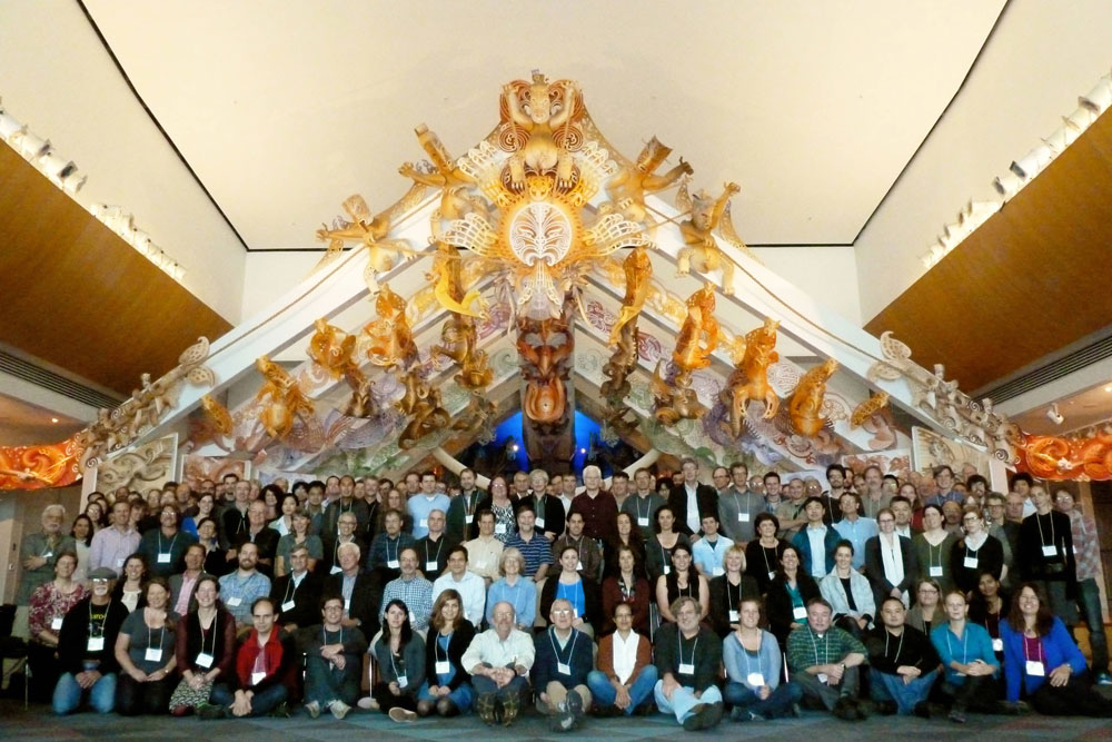
About 25 scientists attending Fall AGU meeting in San Francisco took a couple hours out of their busy schedules to participate in a Thursday evening mini-workshop at the Grand Hyatt about how to best use seafloor drilling to address GeoPRISMS Subduction Cycles and Deformation (SCD) science objectives. A new decade of scientific ocean drilling will occur when the new International Ocean Discovery Project (IODP) gets underway; this is planned for 2013-2023 (For more information about IODP and GeoPRISMS, look at the GeoPRISMS Fall 2012 Newsletter). The primary goal of the AGU mini-workshop was to stimulate interested geoscientists to consider how IODP drilling in the Aleutians, Cascadia, and Hikurangi margins can attack the seven “key questions” in the SCD Initiative draft Science Plan. The two-hour brainstorming session was fueled by hors d’oeuvres, a cash bar, and six brief (5 minute presentations plus 10 minutes discussion) talks.
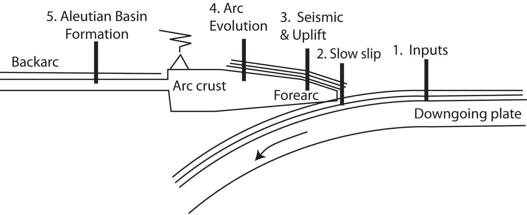
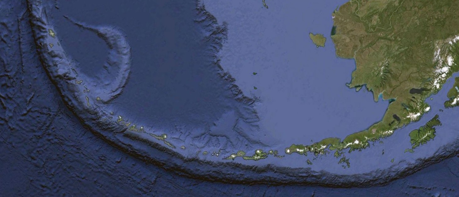
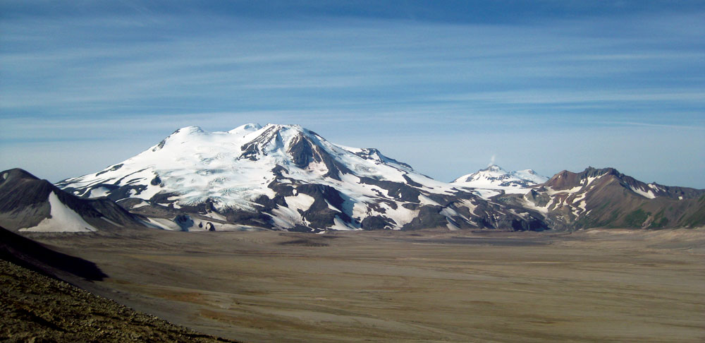
Figure 1. General diagram showing tectonic locations being discussed for IODP drill sites in support of GeoPRISMS science objectives. Site 1: sediment and basement inputs to subduction factory and seismogenic zone, important for Cascadia, Aleutians, and Hikurangi. Site 2: Shallow drilling to understand slow slip events, suggested for Hikurangi margin. Site 3: forearc drilling to reconstruct megathrust events and mountain growth, suggested for Aleutian and Cascadia margin. Site 4: Volcanic history (via tephra) and early arc basement, suggested for Aleutian arc. Site 5: Aleutian Basin formation and evolution.
Terry Plank discussed how to use the drillship to determine subduction zone inputs. It is essential to sample the oceanic crust and sediments that are subducted at each margin, in order to understand how these inputs affect the mechanical properties of fault zone rocks, the generation of fluids in the subduction zone, and the formation of arc magmas (Fig. 1 site 1). Terry noted that for Cascadia there are already several sediment reference sites, and there are even sites in the northern Juan de Fuca plate where basement has been well-sampled and studied hydrologically. These materials need to be analyzed in order to establish the chemical composition of what is being fed into the Cascadia subduction zone. A major uncertainty is what is accreted in the fore-arc and what is swept down to ~100 km to feed the arc magmatic system. Understanding inputs to the Aleutian-Alaskan subduction factory is a bigger problem: this convergent margin is much longer than Cascadia (~3000 km vs. ~1000 km) and sedimentation on the downgoing plate changes along strike from thick, abyssal plain and trench-axis turbidite deposits in the east to thin pelagic sediments overlain by thinning trench-axis deposits in the west. For the eastern Aleutians, we have good but very incomplete DSDP sampling of the Zodiac Fan and more sediment coring in the Gulf of Alaska is expected from scheduled drilling. In contrast, not much is known about sediments on the downgoing plate feeding the intra-oceanic Aleutian arc, west of the Bering shelf break. Fracture zones (FZ) like the Amlia FZ provide additional complexity: these may mark unusual zones of thick sediments, altered oceanic crust, and serpentinized mantle. Can we recognize these inputs in the resultant arc magmas? The subducted oceanic crust appears to become ever more important to arc outputs toward the west, but less than 20 meter of basaltic basement have been recovered from the entire 3000 km Aleutian sector. We need to recover several hundred meters of oceanic crust, because we cannot constrain how much H2O and CO2 is carried down into the subduction zone unless we understand alteration of the subducting oceanic crust. For the Hikurangi margin, ODP Leg 181 sampled the upper sediments, but the lower km (related to Hikurangi Plateau volcanism) has not yet been sampled. Plans are underway, however, to drill a new section of sediment and basement input to the Hikurangi margin (see below).
Dave Scholl outlined how we could obtain a long-term history of major Aleutian seismogenic zone earthquakes by drilling into the forearc to core the deposits of landslides and turbidites that shallow earthquakes create (Fig. 1 site 3). There are two challenges here: to distinguish seismogenic deposits from those produced by other causes, such as non-seismic forearc slope collapse; and how to date these deposits – once identified – with the precision needed at the scale of the seismic cycle? It was also noted that we have a better understanding of the Cascadia seismogenic record than we know the Alaskan record, in spite of the fact that major (M>8 to 9.2) earthquakes (eight have occurred since 1899) are more frequent along the Alaskan-Aleutian margin.
John Jaeger continued on the theme of how we could interpret tectonic history from studying deep sediment cores (Figure 1, site 3). He outlined how these sedimentary records could illuminate linkages between uplift and deformation on the one hand and climate-mediated erosion of growing mountains on the other hand. He further noted how these could combine to create a high sedimentary flux that can turn off forearc deformation.
Brian Jicha explored how the drillship could be used to understand the early Aleutian subduction zone development, and how the arc magmatic system has since evolved (Figure 1, site 4). Aleutian arc subduction is thought to have begun in Eocene time – perhaps along an E-W trending fracture zone – capturing part of the Mesozoic Kula or Resurrection plates to form the Aleutian Basin (see below). We should be able to find a suitable place in the Aleutian forearc where a continuous tephra record – the products of Aleutian and Alaskan explosive eruptions – is preserved. The tephra record – which has wind-direction and compositional bias – could be supplemented by volcaniclastic sediments, which is less compositionally biased but which would preserve the magmatic record of a few upslope volcanoes. Drilling through sedimentary cover to sample forearc basement should recover magmatic products accompanying formation of the Aleutian subduction zone. It is possible that the Aleutian Basin formed by Paleogene backarc spreading, instead of being trapped Pacific/Kula/Resurrection plate. Recovery and study of Aleutian Basin crust would be a primary constraint on timing and nature of Aleutian arc subduction initiation.
Bob Stern outlined using the drillship to understand the age and origin of the Aleutian Basin, and use this information to constrain interpretations of surrounding regions (Fig. 1 site 5), such as the early history of the Aleutian Arc as well as the thermal history of the Aleutian Basin and basement-rock beveled Beringian Shelf. The issue is that there is a lot of sediment in the Aleutian Basin (km’s), but there might be regions where the sedimentary section is thinner. By drilling to basement though 1.5 km of sediments, we should recover a complete high-latitude record of Cenozoic climate history as well as direct age of Aleutian Basin crust.
After these five samplers, we heard briefly about more advanced plans for drilling in the Hikurangi SCD focus site to understand slow slip events (Figure 1, site 2) from Laura Wallace. Hikurangi slow slip events are unusually shallow and may propagate all the way to regions near the trench that are accessible to drilling. Drilling may thus give us direct access to sampling rocks and fluids formed in association with slow-slip events. A riserless drilling proposal currently in the review and ranking process has a coring transect from the subducting plate (inputs) across the overriding plate above the SSE source. There is an input site planned: 1 km of sediments followed by ~200 m penetration into basement. The input site will provide protoliths of the fault zone rock at depth in the slow slip event source area. A proposal to drill a ~5 km riser hole will be submitted in April 2013. Hikurangi drilling will collect samples related to the former MARGINS “Source to Sink” site in the nearby Waipaoa catchment.
We were also told about an interesting Brothers volcano (Kermadec Arc) IODP pre-proposal in the works, and a full IODP proposal to drill at the Lord Howe Rise and New Caledonia Basin to look at the consequences of subduction initiation along the Tonga/Kermadec/Hikurangi subduction system. These two proposals are likely to be submitted in April 2013.
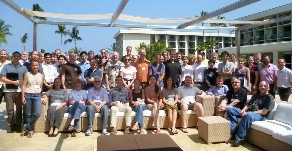
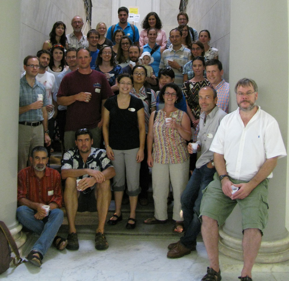
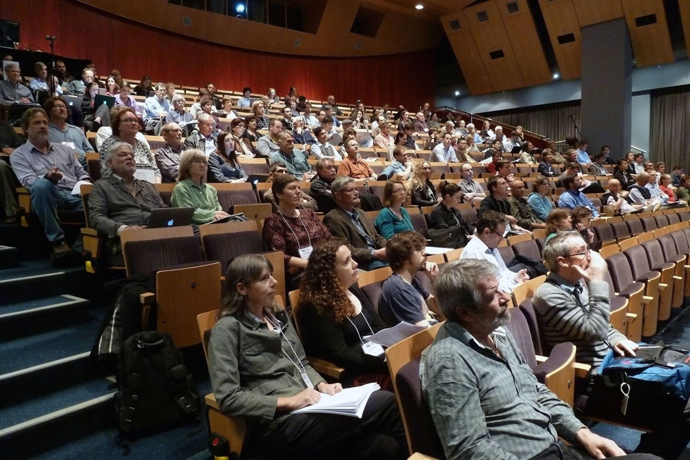
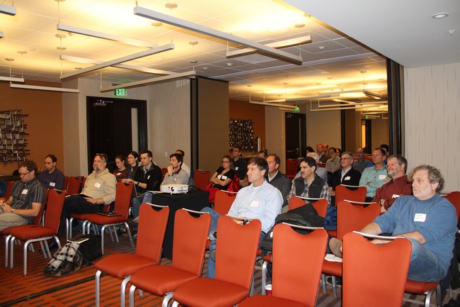
Figure 2: Participants of the GeoPRISMS/IODP mini-workshop take a break between sessions.
Following these presentations, the floor was open to other inputs. Gene Yogodzinski led the group in broad discussions, from Cascadia sediment input, the need for coring into oceanic basement at all sites, the importance of water-rich saponite in oceanic crust, the importance of studying input material to understanding the rheology of the plate interfaces, to the opportunity presented by drilling into the Amlia fracture zone because of unusual sediments and ocean crust alteration, to the importance of biogenic silica as a fluid source, to further discussion of the significance of the tephra record, to engineering considerations for drilling in the Aleutian Trench, to the Cascadia fore-arc slope basins being obvious targets for sampling the paleoseismic record.
After the open discussion, John Jaeger outlined how to propose an IODP workshop, which is useful for moving from broad ideas to specific drilling proposals. Since the workshop, we have learned that guidelines for preliminary proposals are being revised and will be in place for the Oct. 1, 2013 deadline. Some groups interested in similar drilling objectives gathered to begin planning.
Reference informationGeoPRISMS Newsletter, Issue No. 30, Spring 2013. Retrieved from http://geoprisms.nineplanetsllc.com